 |
Recreational
route along San Francisquito Creek, south of the bike bridge
to Menlo Park. This is a Santa Clara Valley Water District
service road.
Looking
south, with the creek on the right.
|
 |
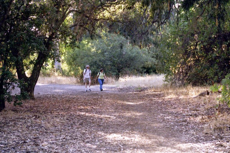
A bit
further south, the creek bed is visible on the right. Open
space of the Stanford West project is on the left. Looking
south.
Note
the full range of trail users on this popular trail.
|
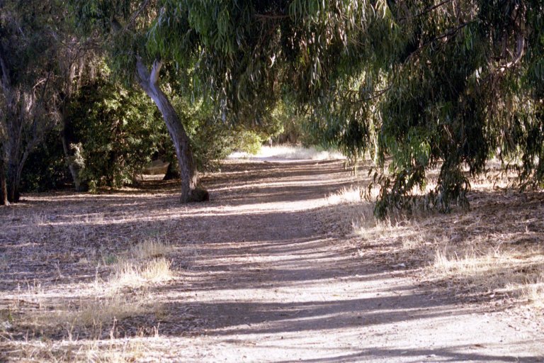 |
A bit
further south along the creek. |
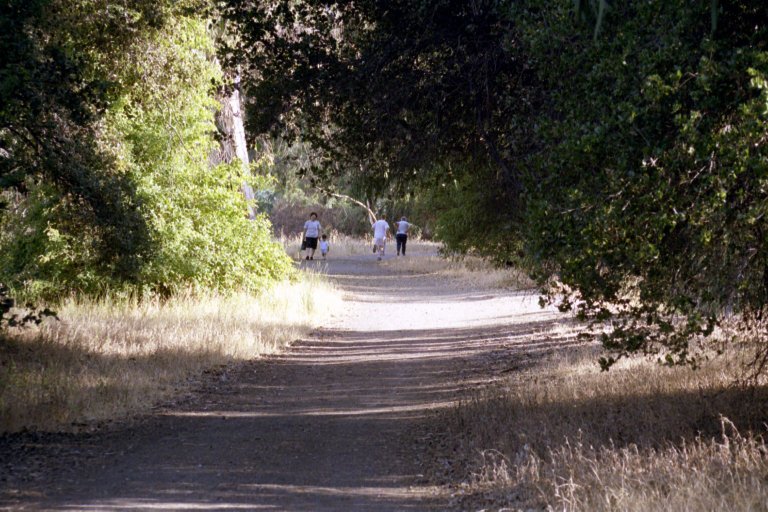 |
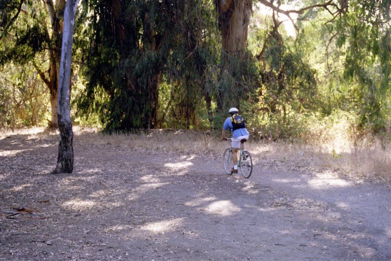
Family
use of this trail is extensive.
|
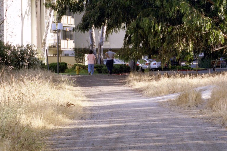 |
End of
the trail. Ahead is the parking lot of Oak Creek Apartments.
|
 |
A possible
connection from the recreational route above. Looking east
towards Pasteur at Sand Hill
from same point as above picture.
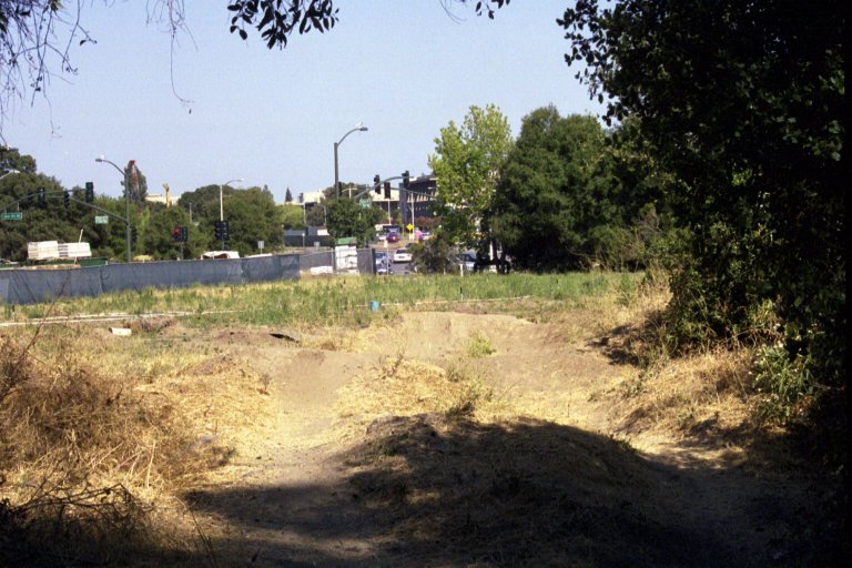
This
is a buffer strip between Oak Creek Apartments and Stanford
West. Local kids have built stunt bike ramps. Stanford West
construction fence at left.
|
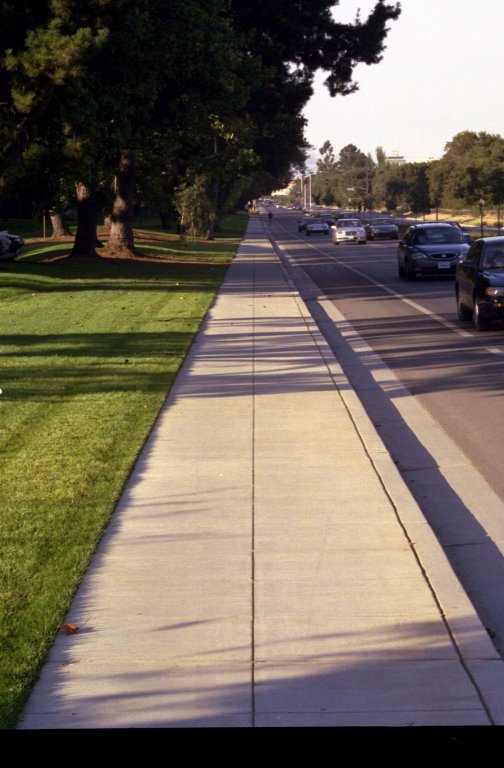 |
Sidewalk
along west side of Sand Hill Road.
Looking
north on Sand Hill near Stock Farm, towards Pasteur Drive.
|
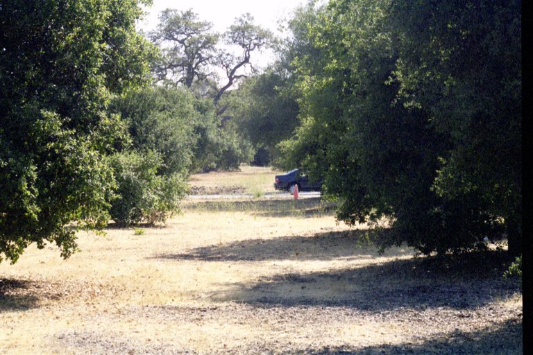 |
Possible
alternate to sidewalk route above Area shown is space between
two rows of buffer trees adjoining Sand Hill between Pasteur
and Stock Farm.
Looking
south.
|
 |
Right
side of Sand Hill in the same area as the above. Sidewalk was
not built out due to Indian artifacts found in area. Alternate
route to right, between rows of buffer trees, could be used
for a trail. Area at right is open space of Stanford campus. |
 |
Beginning
of the Searsville Path, entering the Stanford campus. Looking
east from Sand Hill Road.
Route
through Stanford campus would enter here.
|