walk/run/bike/horse
|
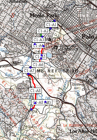
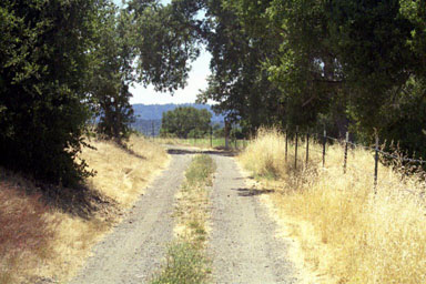
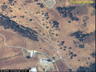
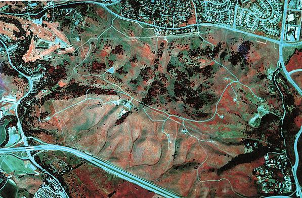
Maps and imageryBackground material to provide familiarity with the area.
|
| Stanford
Area Trails walk/run/bike/horse |
||||||||||||||||||||||||||||||||||||||||
|
This site is operated by
a group of Stanford-area people, many of whom are Stanford alumni.
It is not an official site of Stanford University.
Last update October 17, 2002.