|
|
Pictorial tours of the trail routes
Walk the trails in pictures here. It's much better in person, of
course.
These follow the "optimal routes" as identified by Santa
Clara County Parks and Recreation staff.
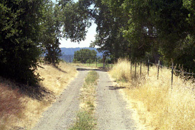
Trail C-1 (generally along San Francisquito Creek)
 |
Stanford's proposed
route for C-1
(On the left: That narrow strip on the
right is where Stanford wants to put the trail, cutting down
the trees and building a retaining wall. There are houses
behind those trees)
|
Trail S-1 (generally along Matadero Creek)
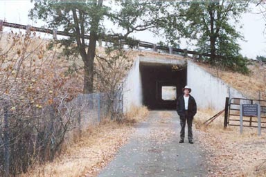 |
Photo tour not yet available.
(On the left: the famous "cow tunnel"
under Interstate 280, part of the optimal route for trail
C-1. The tunnel is the property of the State of California,
Department of Transportation)
Picture courtesy of Stanford
Open Space Alliance.
|
|